Building Information Modeling (BIM)
GIS
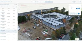
New suite of reaility capture tools looks to enable site 3D Mapping
Read More
BIM
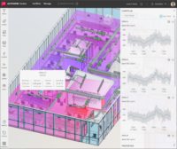
Autodesk Launches Tandem Facility Monitoring Beta Program
Long an amibition of digital twins, new Tandem capability brings construction model directly to facilities management
Read More
Technology
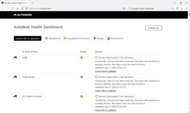
Autodesk Cloud Service Outage Leaves Users Idled for a Day
All Autodesk cloud services were down Nov. 17, which stopped design work on some projects
Read More
Site Documentation
Disperse.io Launches AI-Based Construction Planning Tool
UK-based construction productivity startup adds new tool for daily site decisions
Read More
Technology
Autodesk Talks New Integrations, and an Unexpected Data Journey
Messages from user conference indicate what's next for AEC tools
Read More
Technology
Autodesk to Launch Construction-Specific Cloud Collaboration Platform
Company also previews a conceptual design tool
Read More
Design Technology
Nordic Design Groups Push Autodesk for Revit Upgrades
Architects from Denmark, Norway, Finland and Iceland have joined to call for more design software development and pricing commensurate with it
Read More
Technology
Mapping Giant Esri Moves Further Into Design-Construction Space
First Esri user conference since 2019 is also first since release of ArcGIS GeoBIM
Read More
The latest news and information
#1 Source for Construction News, Data, Rankings, Analysis, and Commentary
JOIN ENR UNLIMITEDCopyright ©2024. All Rights Reserved BNP Media.
Design, CMS, Hosting & Web Development :: ePublishing
