Home » Keywords: » ESRI
Items Tagged with 'ESRI'
ARTICLES
GIS
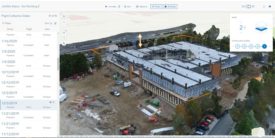
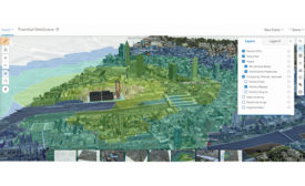
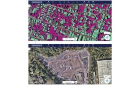
New suite of reaility capture tools looks to enable site 3D Mapping
Read More
ENR 2021 Top 25 Newsmakers
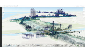
Chris Andrews: Veteran Software Engineer Helps Create the Connections between BIM and GIS
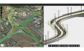
Read MoreGIS and BIM Take First Major Steps to Integration
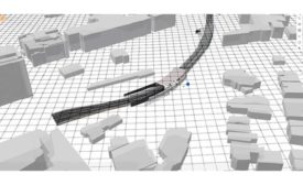
Bringing everything from utilities information to site conditions out of a GIS map into a BIM usually requires cumbersome rework. That's now changing.
Read More
The latest news and information
#1 Source for Construction News, Data, Rankings, Analysis, and Commentary
JOIN ENR UNLIMITEDCopyright ©2025. All Rights Reserved BNP Media.
Design, CMS, Hosting & Web Development :: ePublishing
