Home » Keywords: » LIDAR
Items Tagged with 'LIDAR'
ARTICLES
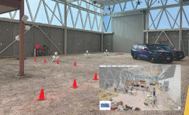
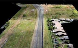
LiDAR, 360° videos, point clouds, along with piloted and autonomous drone flights were all put to the test in a first-of-its-kind experiment
Read More
Virtual Conference
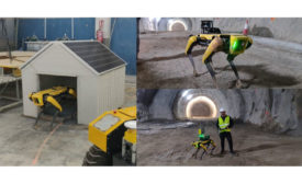
ENR FutureTech 2021 Opens With a Look at Construction Robotics and Startup Partnerships
Full sessions available for ticket-holders to stream on-demand
Read More
The latest news and information
#1 Source for Construction News, Data, Rankings, Analysis, and Commentary
JOIN ENR UNLIMITEDCopyright ©2025. All Rights Reserved BNP Media.
Design, CMS, Hosting & Web Development :: ePublishing
