Home » Keywords: » Drones
Items Tagged with 'Drones'
ARTICLES
Construction Technology
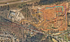
Contractors using the platform can fly drones that a pilot cannot see on large infrastructure projects
Read More
Sponsored Content
Level Up Your Company’s Marketing Game with Drone Photography
How top contractors are using site cameras and drone photography to bring in new clients.
September 6, 2023
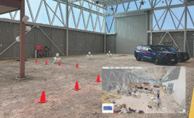
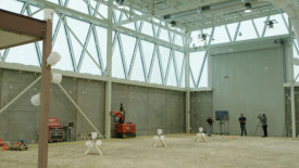
Jobsite Experiment Asks: How Best to Capture Reality?
LiDAR, 360° videos, point clouds, along with piloted and autonomous drone flights were all put to the test in a first-of-its-kind experiment
Read More
Technology
DroneDeploy Acquires Structionsite, Promises Integrated Reality Capture
Combined firm will offer both ground and aerial site documentation
Read More
UAV Technology
New York City Dept. of Buildings Explores Drones for Facade Inspections
New report sees potential in technology, calls for further study
Read More
Wind Turbine Inspection Drone Startups Gain Ground in UK
Two firms take different approaches to automating a laborious process
Read More
The latest news and information
#1 Source for Construction News, Data, Rankings, Analysis, and Commentary
JOIN ENR UNLIMITEDCopyright ©2025. All Rights Reserved BNP Media.
Design, CMS, Hosting & Web Development :: ePublishing


