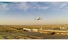
Climate change considerations, public-private partnerships for small and midsize airport projects, and urban air mobility infrastructure are some of the major issues for the U.S. aviation sector—along with optimism regarding new U.S. Transportation Secretary Pete Buttigieg.
In late December, the Federal Aviation Administration published proposed regulations governing the usage of drones in the U.S., triggering a pushback from drone professionals over rules requiring live transmitting of drone locations during operation.
As consumer drones have gained sophistication and professional drones have come down in price, features previously limited to high-end devices are finding their way onto ever more affordable unmanned aerial vehicles.
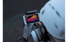
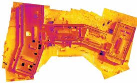
A software and drone-data platform developer has released what it claims is the first mobile mapping feature to deliver thermal maps of target areas as the data is being collected, for real-time evaluation in the field.
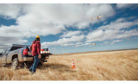
Government bodies and technology companies in 10 locations across the nation are partnering to develop an array of drone innovations while the Federal Aviation Administration streamlines its airspace access request process.
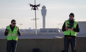
Hartsfield-Jackson Atlanta International Airport became the first U.S. international airfield to let drones fly within its controlled airspace when Atkins and its design-team partners, 3DR and Autodesk, flew a series of seven flights during a four-hour period on the morning of Jan. 10.